
Restoration: Bringing the Tides Back to the Eel River Estuary
by Emily Afriat, North Coast Regional Director
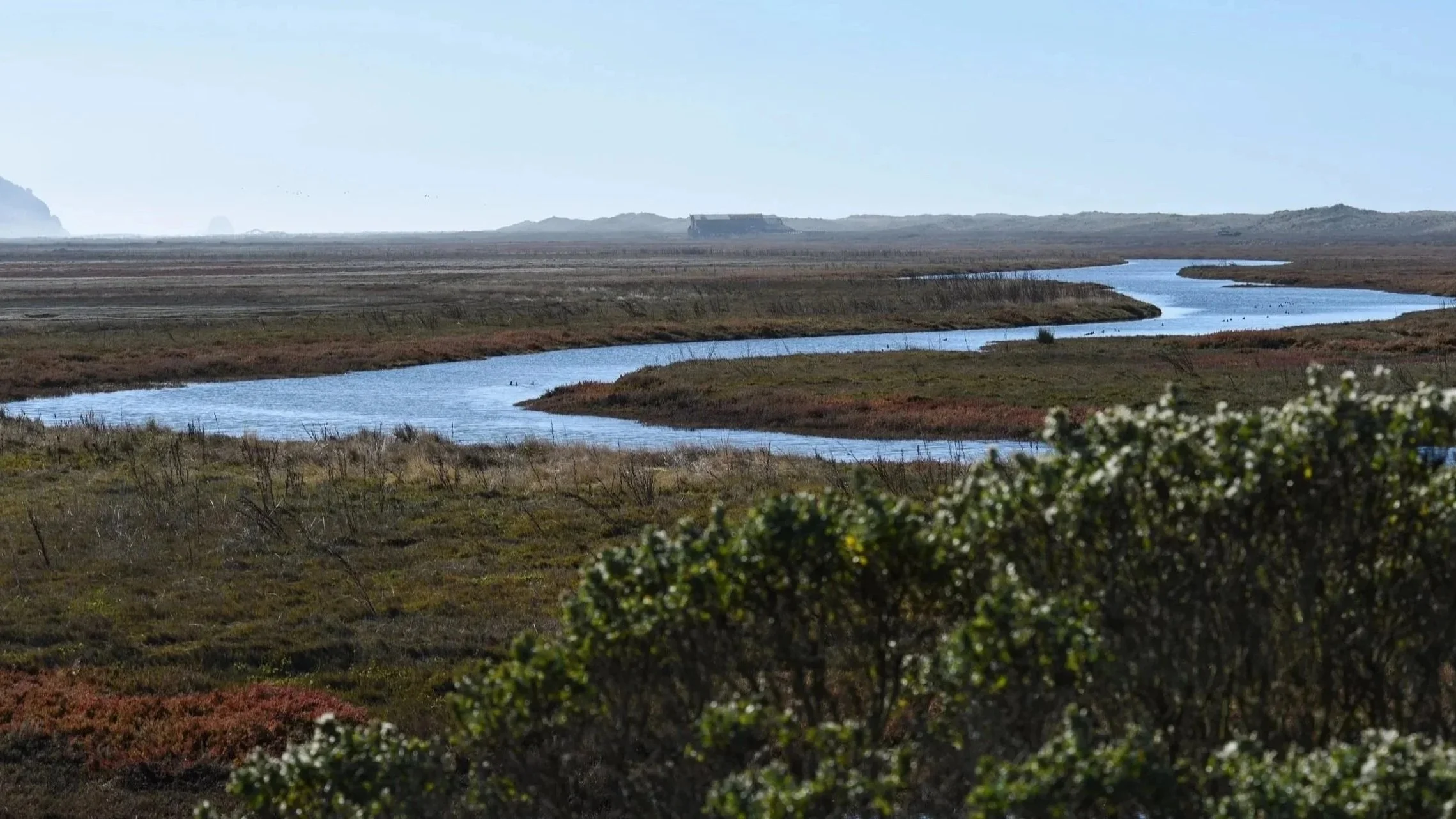
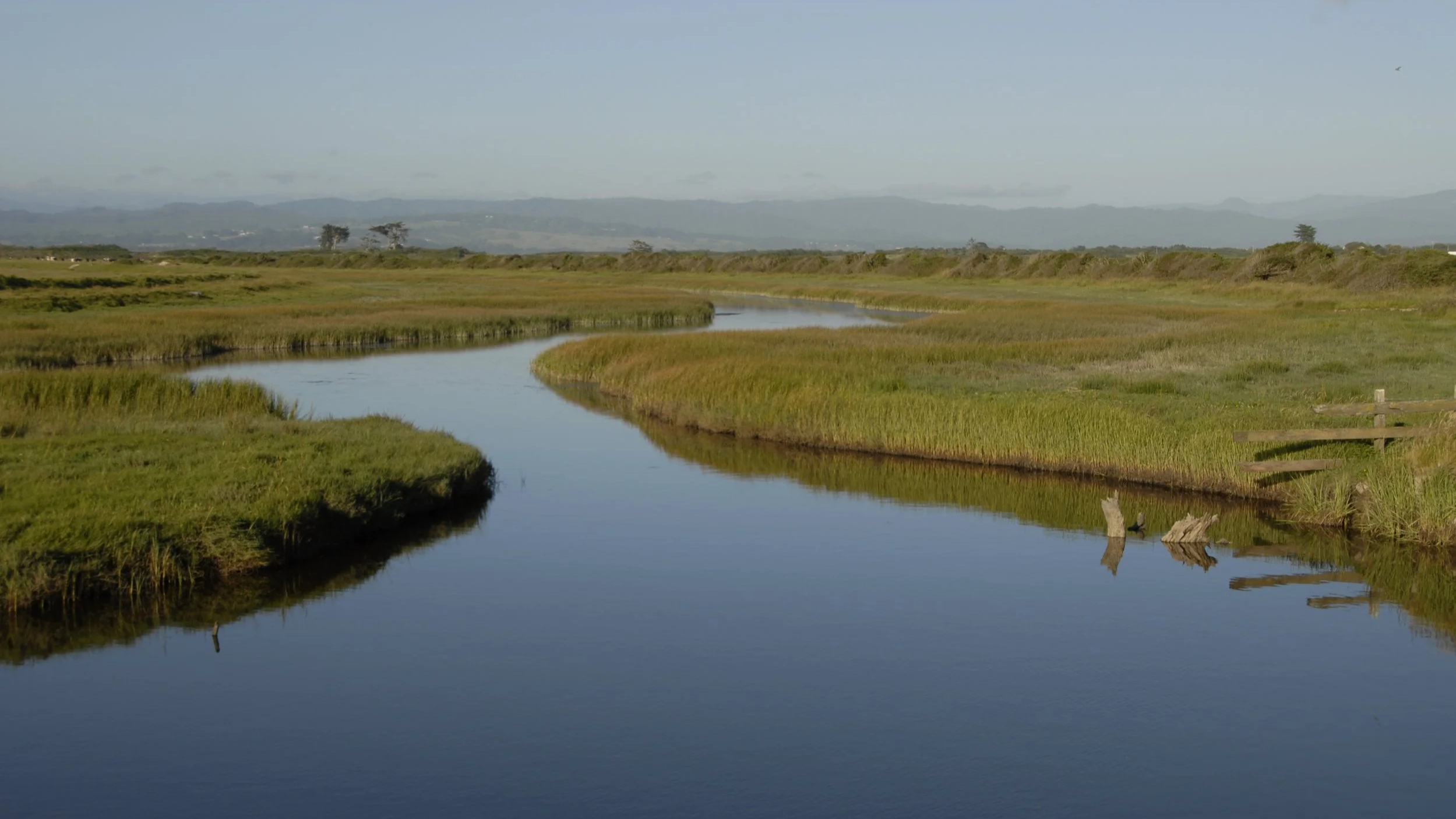
A broad landscape with meandering water, open wetlands, and low hills on the Eel River Estuary. Photo by The Wildlands Conservancy staff.
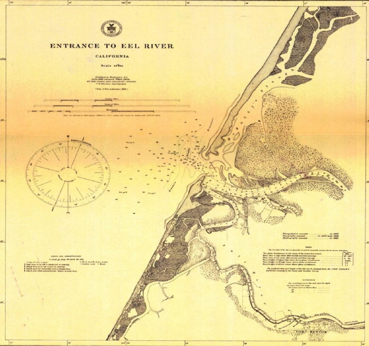
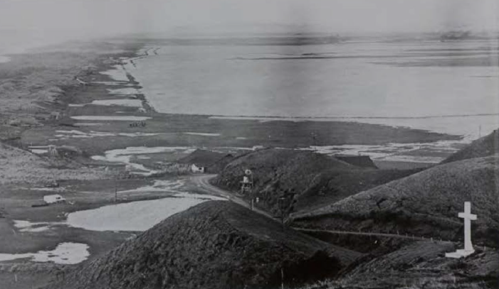
In Humboldt County, where the Eel River widens and slows on its final stretch to the Pacific, water, land, and wildlife have always depended on movements like tidal pulses that refresh wetlands and cool channels, creating the sheltered backwaters young fish need to survive. Over the last century, much of that natural circulation was cut off by dikes and levees built by settlers on unceded Wiyot territory in an effort to drain wetlands for grazing and farming, beginning in the late 1800s and early 1900s.
Now, one of the most ambitious private tidal restoration efforts on private land on the West Coast is poised to reverse that history.
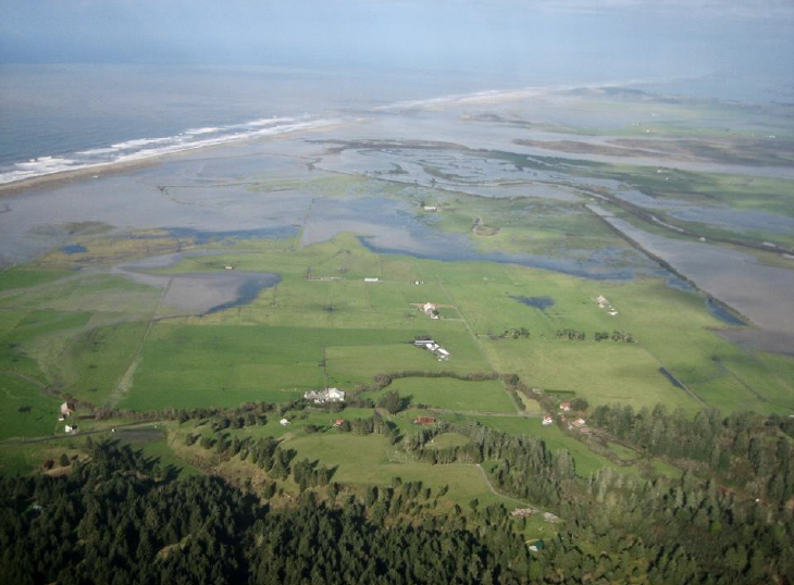
The Russ Creek and Centerville Slough Restoration Project spans approximately 1,480 acres in the Eel River Estuary west of Ferndale. The project area includes the Eel River Estuary Preserve owned by The Wildlands Conservancy, along with several neighboring private parcels.
The goal is straightforward and transformational, restoring tidal wetlands while protecting adjacent agricultural lands from storm damage and sea level rise.
Reconnecting a coastal nursery for salmonids
At the heart of the project is a major re-opening of historic waterways. Restoration work will remove or lower dikes and restore four miles of Centerville Slough to reconnect the estuary with tidal wetlands and tributary streams.
This reconnection will also restore a broader network of tidal channels and enhance approximately 500 acres of former wetlands that were once diked and drained for agriculture.
By reconnecting the Eel River estuary with Russ Creek and other tributaries, the project greatly improves migratory pathways and re-establishes the kind of overwintering and rearing habitat juvenile salmonids depend on while also improving dissolved oxygen, and creating the complex “edge habitats” where young fish can forage and shelter through seasonal extremes.
“The goal is straightforward—and transformational: restore tidal wetlands while protecting neighboring agricultural lands from storms and sea level rise.”
- Emily Afriat, North Coast Regional Director, The Wildlands Conservancy
A mosaic of wetlands and a boost for birds and native plants
While supporting fish is a central driver, the benefits extend across the entire estuary. The project is designed to promote a more resilient and biologically rich landscape including tidal slough channels, freshwater streams, and well-managed agricultural areas where appropriate.
A calm, curving tidal channel winds through green marsh grasses, with distant hills beneath a soft blue sky. Photo by David Clendenen.
Restoration will include revegetation and long-term invasive species management to help newly restored areas thrive.
That includes targeted work to suppress invasive species that displace native dune and wetland communities. The project identifies removal of invasive plants such as dense-flowered cordgrass (Spartina densiflora) and European beachgrass (Ammophila) as key actions to support habitat enhancement goals.
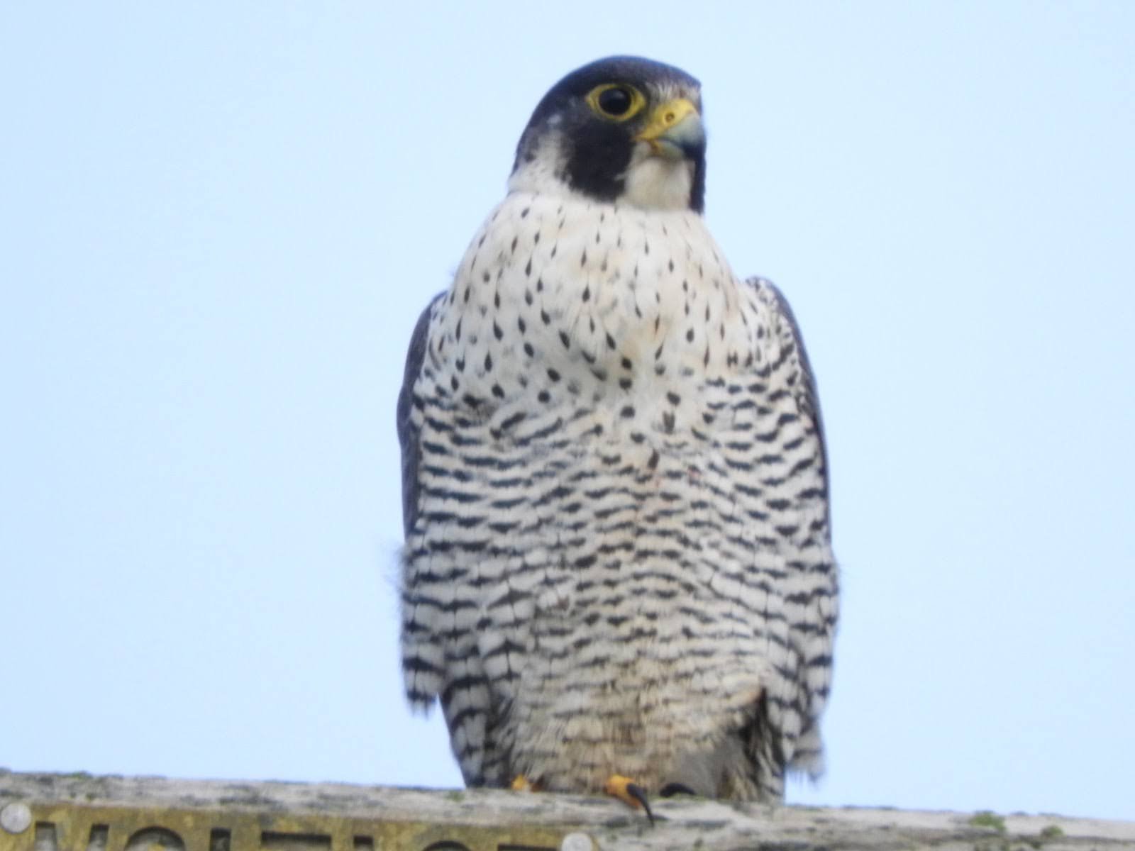
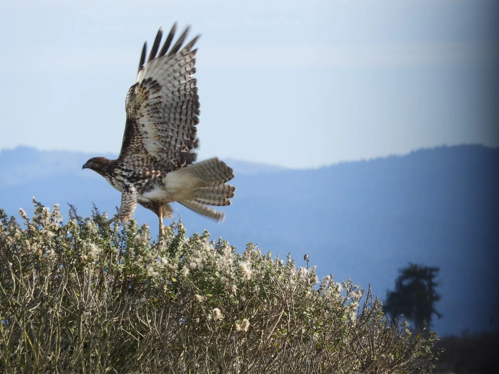
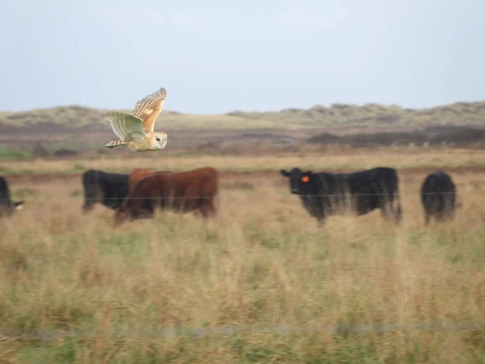
As habitat diversity increases — salt marshes, brackish transition zones, freshwater ponds, and restored riparian corridors — the estuary is expected to support a wider range of wildlife. For birdlife especially, these transitions matter: different water depths, salinities, and vegetation types translate into more feeding opportunities, more nesting cover, and more seasonal stopover habitat along the Pacific Flyway.
Designing for sea level rise and flood protection
The Russ Creek and Centerville Slough Restoration Project is also a climate adaptation project. The same alterations that disconnected fish migration corridors also changed how floodwaters move through the valley — often increasing flood severity on these lands and those to the east.
To address that legacy, the project includes infrastructure designed to manage flooding while keeping the ecosystem connected. Plans include repairing an existing tide gate to incorporate fish-friendly gated culverts—a strategy intended to reduce tidal inundation and overwash on neighboring agricultural lands while preserving passage for aquatic species.
Public access improvements, leading to year-round connection to the estuary
The Wildlands Conservancy’s preserves are about restoration, rewilding, and public connection. Public access is explicitly included in the project scope, alongside agricultural operations and long-term maintenance.
Continued tours and new opportunities for educational programming on the Eel River Estuary Preserve emphasize sustaining and expanding opportunities for public access and nature study.
As a whole, access is expected to improve in practical, year-round ways: raising key trails and roads so winter flooding doesn’t force seasonal closures, adding kayak launches for exploring the Eel River estuary, and creating infrastructure — like a school bus turnaround — that supports outdoor education programming.
A long arc of planning—now approaching the ground
This project builds on more than a decade of work in the Eel River Estuary landscape. Years of planning and design — shaped by landowner coordination and steady progress through regulatory pathways — have led to today’s alignment, supported by Natural Resources Conservation Service’s Wetland Reserve Easements. With the Humboldt County Resource Conservation District serving as the lead agency and The Wildlands Conservancy supporting, the goal is simple: strengthen the land’s health so salmonids can find refuge again, wetlands can rebuild, and people can experience a living tidewater landscape in every season.
Next Chapter of the Eel River Necklace
Eel Rock Ranch is the next link in The Wildlands Conservancy’s vision for an “Eel River Emerald Necklace”—a connected series of preserves protecting biodiversity while expanding free opportunities for hiking, paddling, and nature study. Located east of Myers Flat between Alderpoint and Dyerville, this approximately 1,350-acre property includes more than a mile of the National Wild and Scenic Eel River and sits along the envisioned Great Redwood Trail. Wildlands has secured an agreement to acquire the land for permanent conservation, protect cultural sites through partnership with descendant indigenous communities, and steward forests, oak woodlands, grasslands, and riparian habitat that support steelhead and a diversity of other native wildlife.